Security and resilience in global urban areas
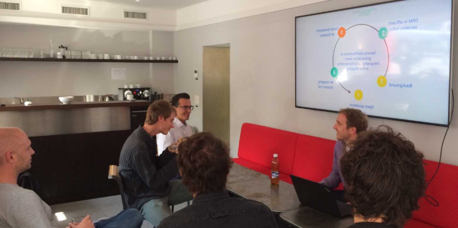
Florian Roth, Senior Researcher with the Risk and Resilience Team at the Center for Security Studies (CSS) at ETH visited the ISTP on September 27th 2017 and spoke about future challenges regarding mapping social vulnerability in Switzerland.

Every year disasters take lives, cause significant damage, inhibit development and contribute to conflict and forced migration. Research conducted in Sri Lanka suggests that while heavy rainfall was the trigger for the flooding, the root causes of the disaster were social, in particular widespread poverty, conflict-induced migration and problematic land-use practices. These characteristics are not homogeneous, meaning different places and people are affected differently.
The social characteristics of communities are extremely important for hazard managers because they increase peoples’ vulnerability to hazards. A global community that is dedicated to reducing disaster losses over the next decade must address these social root causes of disaster.
Understandably, socially disadvantaged communities exposed to hazards have to date received the most attention from disaster risk reduction specialists. This is because hazards tend to harm predominantly those social groups that were already disadvantaged before a disaster. Interestingly, there is little research on more affluent societies in this context. However, groups of people living in places where the overall socio-economic status is higher can also be vulnerable to hazards, and little is known about these groups.
Florian Roth is currently working on a pilot study that aims to understand and map social vulnerability to flood hazard in the city of Zürich. He and his team developed a theoretical basis, and practical methodology to identify key factors of social vulnerability and their interdependencies. These social characteristics are mapped to identify ‘hotspots’ of social vulnerability in the city.
Three social vulnerability categories were mapped. Each category describes a particular household type, and reflects an issue that must be addressed by Swiss civil protection organizations. The first category encompassed households inhabited by elderly women (≥80 years) living alone, and this category aimed to reflect a social group that can be difficult to evacuate in the case of a flood. The second household type were those where all members of the household were newly arrived in the city, and did not have a long-term residence permit. This category reflects a group with potentially low critical awareness of flood risk. The last category included single mother households, where the income was low. These households have lower capacity to cope with a hazard.
In all cases, the team was able to identify clear differences in the distribution of households falling into the three social vulnerability categories. In the contexts of the evacuation group (elderly women, alone) and the coping capacity group (single mothers, low income) the north of the city was particularly important. No discernable pattern was evident from the risk awareness category (newly arrived, non-resident). From a civil protection perspective, none of the identified hotspot areas were located in areas likely to be impacted by a 300 year flooding event in the City of Zürich.
Overall, this pilot study has demonstrated that mapping social vulnerability is a useful practice to complement existing integrated risk management activities. Three points are particularly important.
a) Social vulnerability exists in a wealthy city like Zürich, and it can be characterized interdependently (formulated in this report as a social vulnerability category) from several social factors.
b) Second, the project has demonstrated that mapping social vulnerability categories is possible and practical. The approach takes adds a fundamental facet that can help researchers and civil protection officials to locate pockets of social vulnerability in Switzerland.
c) Most importantly from a civil protection perspective, mapping social vulnerability can support localized risk communication, household-level preparedness, help to benchmark levels of vulnerability, and can inform spatial planning.
For more Information on the project, see the Risk and Resilience Report
or check out Florians other publications.