How the road network determines traffic capacity
ETH researchers have shown that we can use the structure of urban road networks to predict their traffic capacity. This information enables urban and transportation planners to quantify how changes will influence traffic volumes. (Re-post from ETH News)
People who commute by car will have an idea of what “traffic capacity” means, drawn from their own experience: as a stream of cars heads into a city early in the morning, the flow of traffic initially increases – until a critical point is reached in terms of the number of vehicles on the roads. From this point on, every additional car reduces the flow of traffic, and vehicles come to a standstill or form a traffic jam. This critical point represents a city’s traffic capacity, or its possible maximum traffic volume.
The number of vehicles a road network can support differs from city to city, and the factors that influence these differing traffic capacities were previously unquantified. ETH researchers led by Kay Axhausen, Professor of Traffic and Transport Planning, and Professor Monica Menendez (now at New York University Abu Dhabi) have now used billions of traffic measurements to reveal a set of rules that enable us to easily estimate the critical number of vehicles, and by extension, the traffic capacity of a city’s road network.
Four characteristic network variables
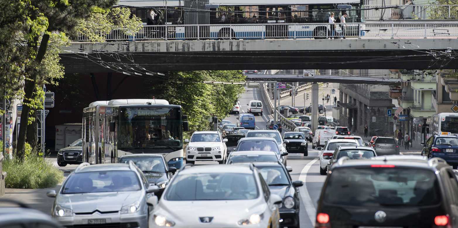
The researchers led by Axhausen and Menendez identified four factors that shape a city’s road network and ultimately define its traffic capacity: the road network density (measured in kilometres of lanes per surface area), and the redundancy of the network in providing alternative routes for getting to a particular destination. The frequency of traffic lights also had an impact, as did the density of bus and tram lines that compete with vehicular traffic for both space and rights of way (such as signal priority or bus lanes, a common sight in Zurich).
“These four factors, all derived from bus/tram networks and the road system, are astonishingly accurate at explaining the differences in capacity that we see from city to city,” explains Axhausen. These findings enabled them to firm up a theory that they had long been mulling over, drawn from earlier simulations and a small amount of empirical data: that, subject to the vehicular density in various cities, traffic volumes behave in a similar way and follow the same patterns.
Calculating the ideal infrastructure
The results are of practical relevance: urban planners can now quantify their expectations of how planned investments or construction work will improve or limit their network’s traffic capacity. For example, constructing (or removing) road lanes changes the density of the network, while a key bridge being rendered unusable due to renovation work diminishes its redundancy. And if transport companies arrange for public transport to run more frequently, there will be more buses on the roads. “Our new understanding of traffic capacity within urban networks may not do away with traffic jams for good. However, it will likely play a key role in improving the transport situation,” Axhausen explains.
For more information, please visit the ETH News page.
You can find the full article online on external page Nature.